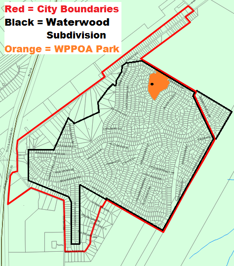
Bellow is the map of the City of Sandy Oaks as well as the boundaries of the Waterwood subdivision.

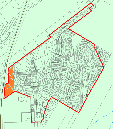
In the map below, all commercial and industrial deeded properties are in orange. They are all along the Priest/Mathis road.

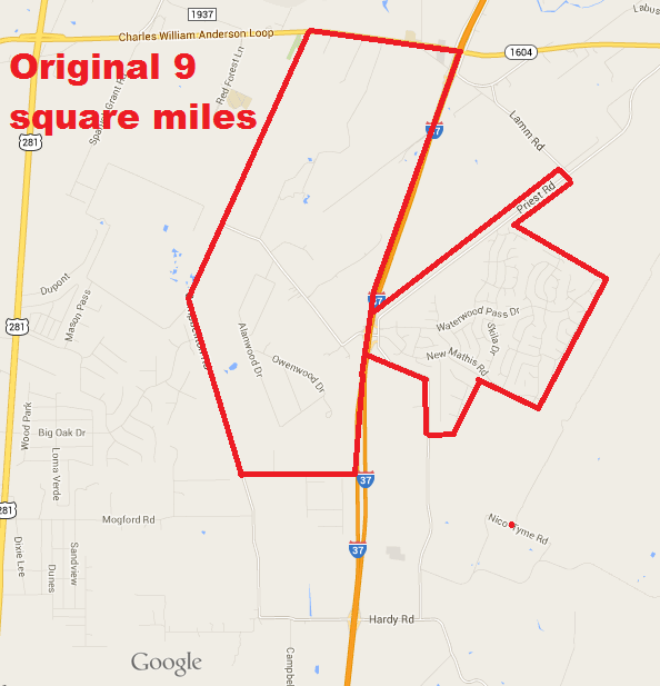
Here is the map of the original 9 square miles that CISO requested the City of San Antonio to release

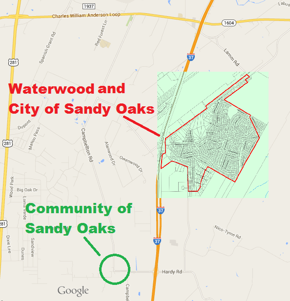
The map below shows the Original Sandy Oaks and the location of the City of Sandy Oaks.
